
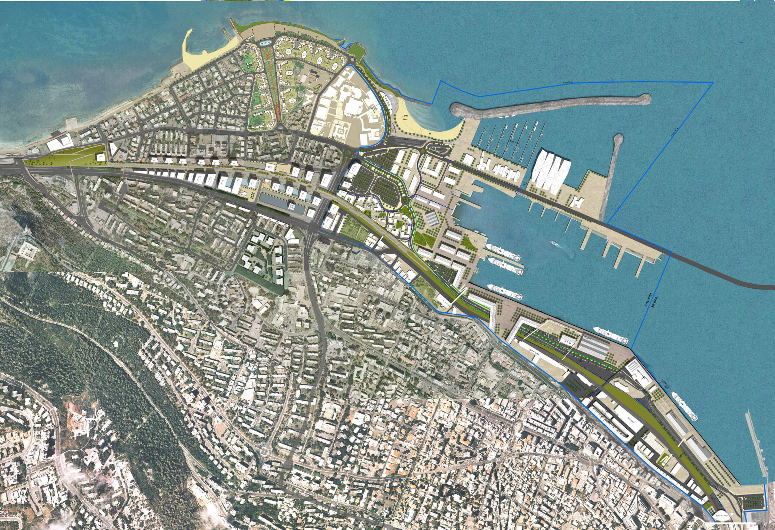
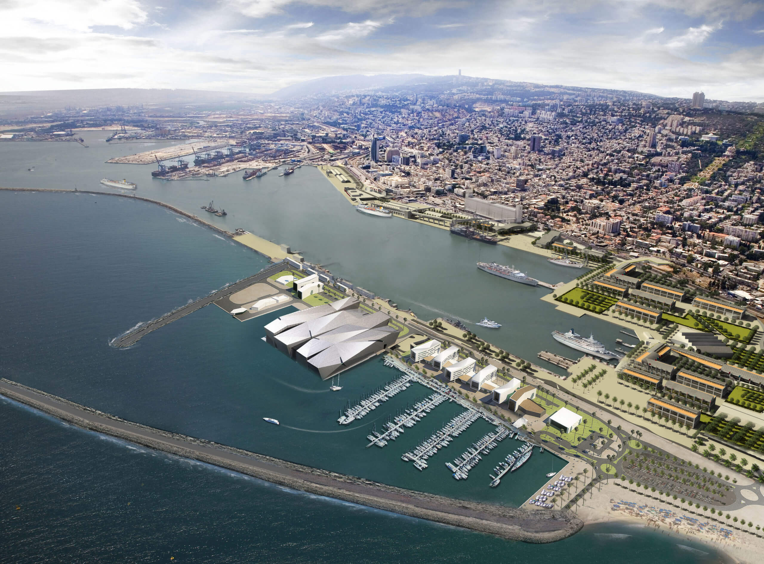
Haifa Waterfront Masterplan
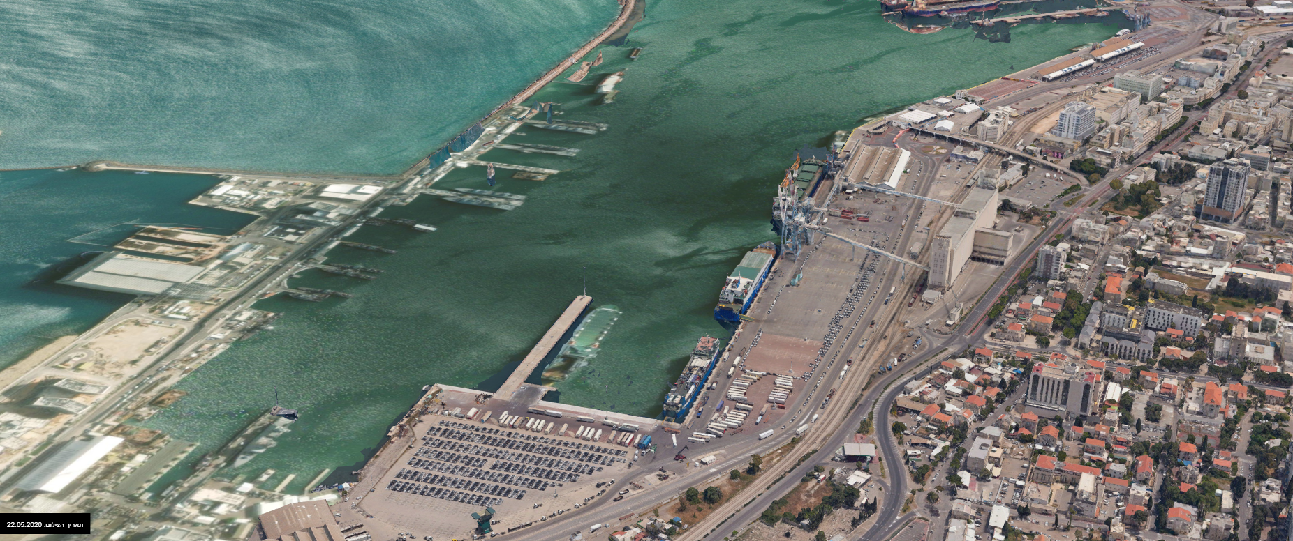
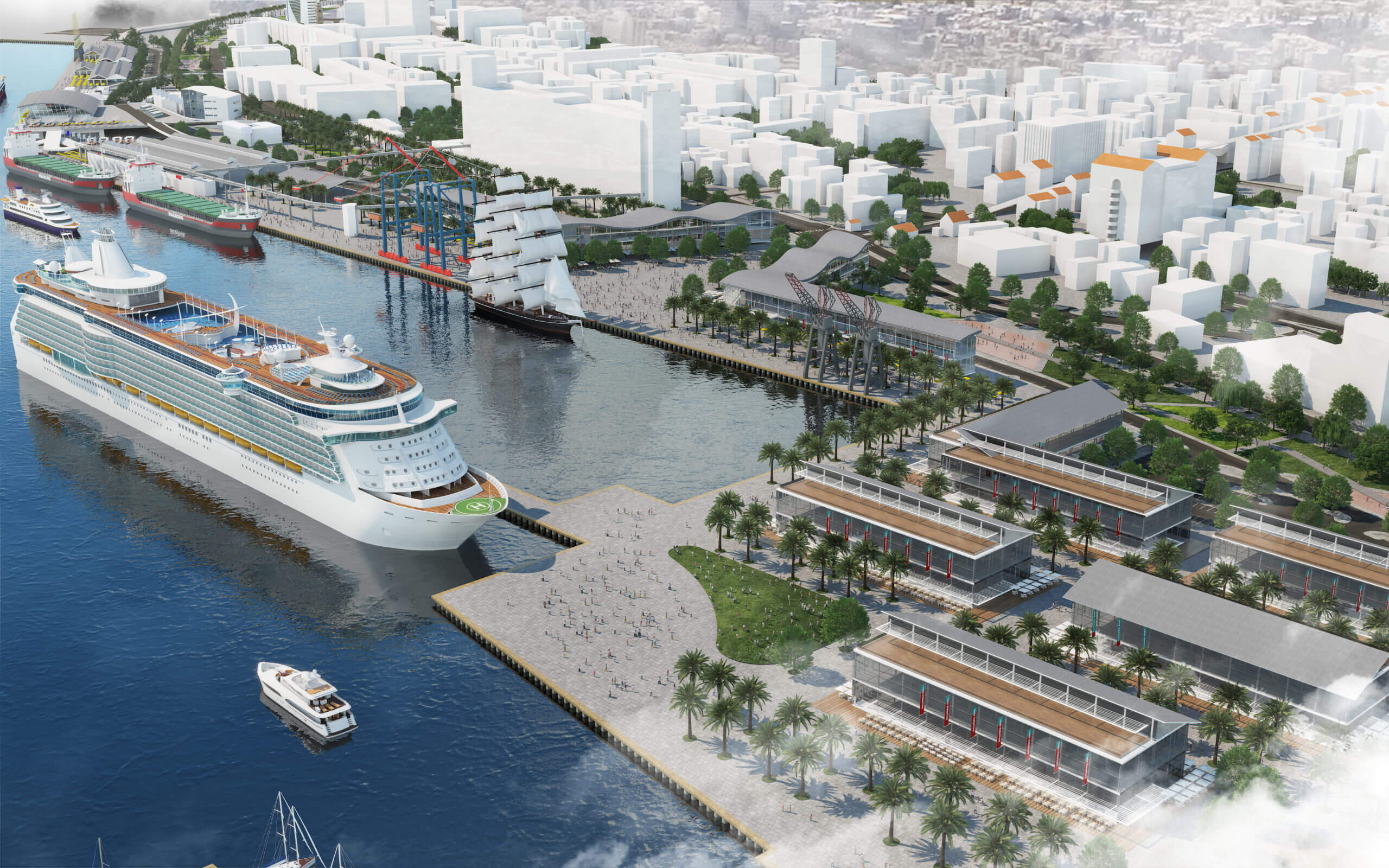
Haifa is a seaside city in Israel which, surprisingly, does not offer access to the sea. The city’s seaport, which is Israel’s leading port, was built in 1933 in a way which blocks the city from the waterfront, thus its narrow wharves are outdated and hardly active.
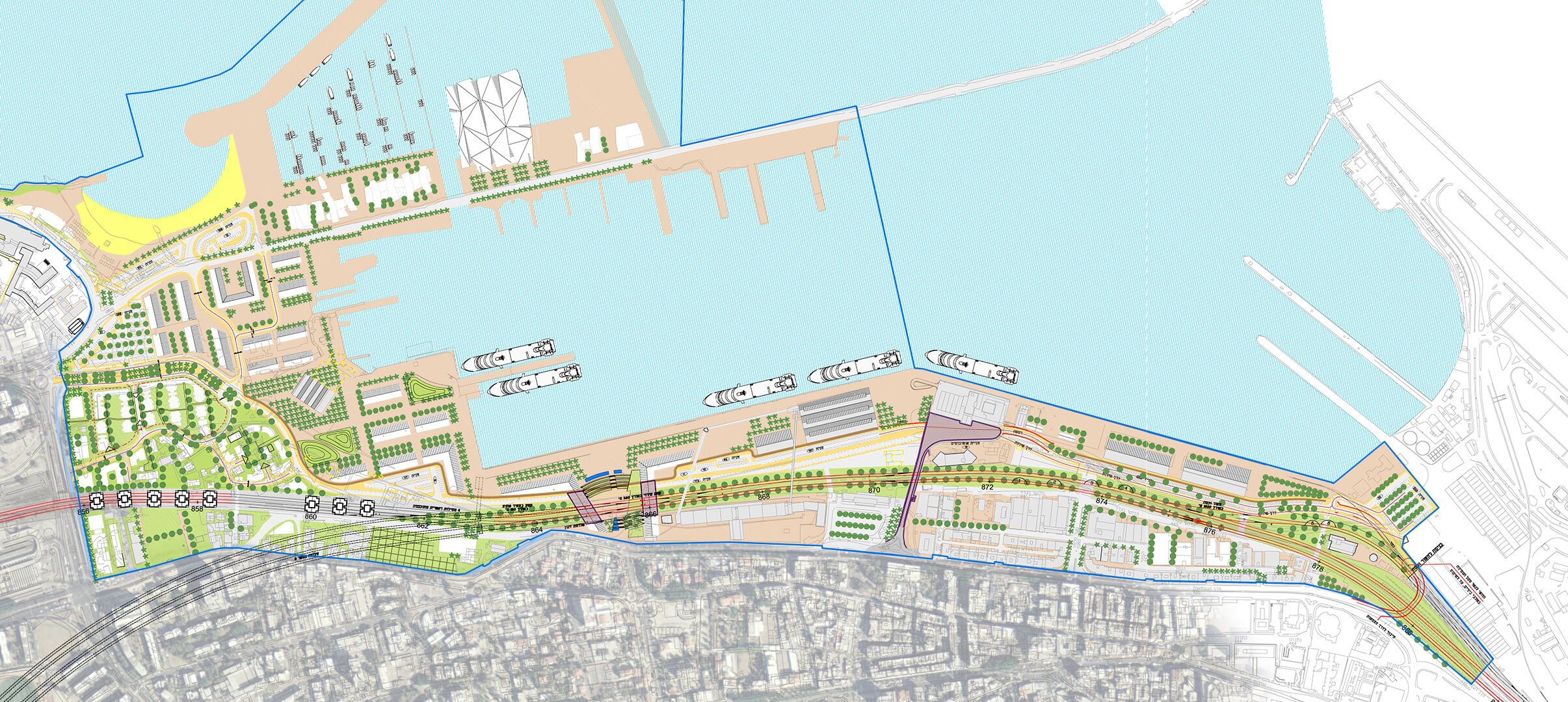
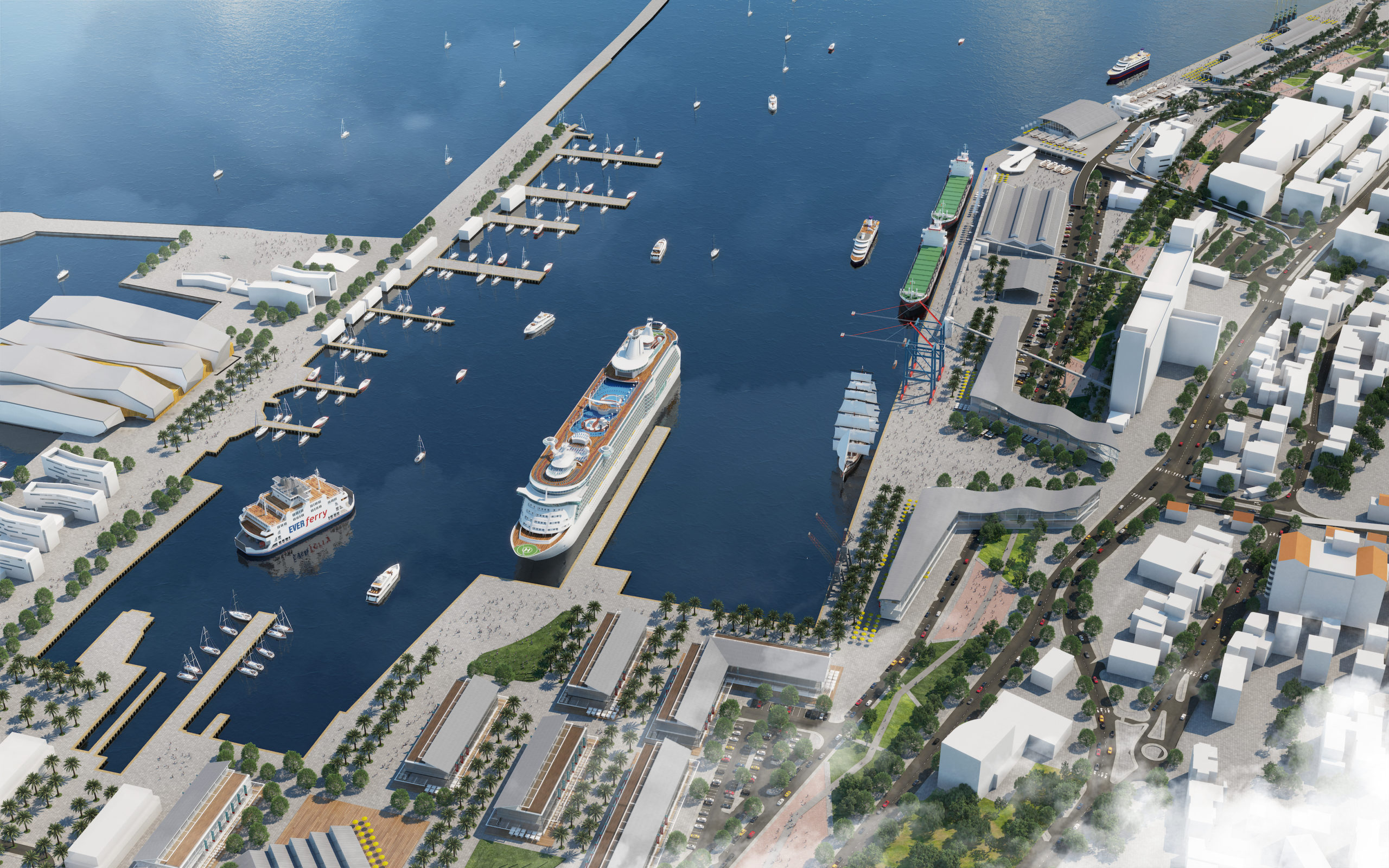
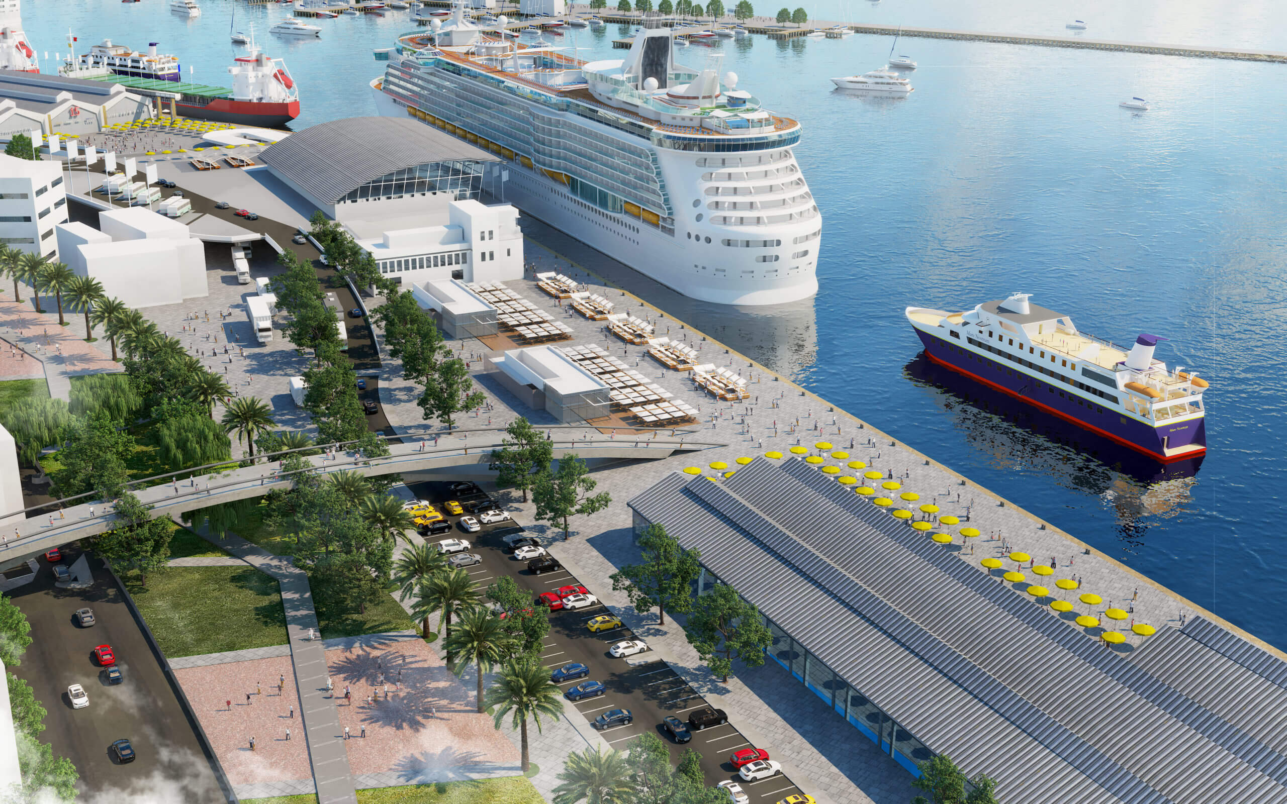
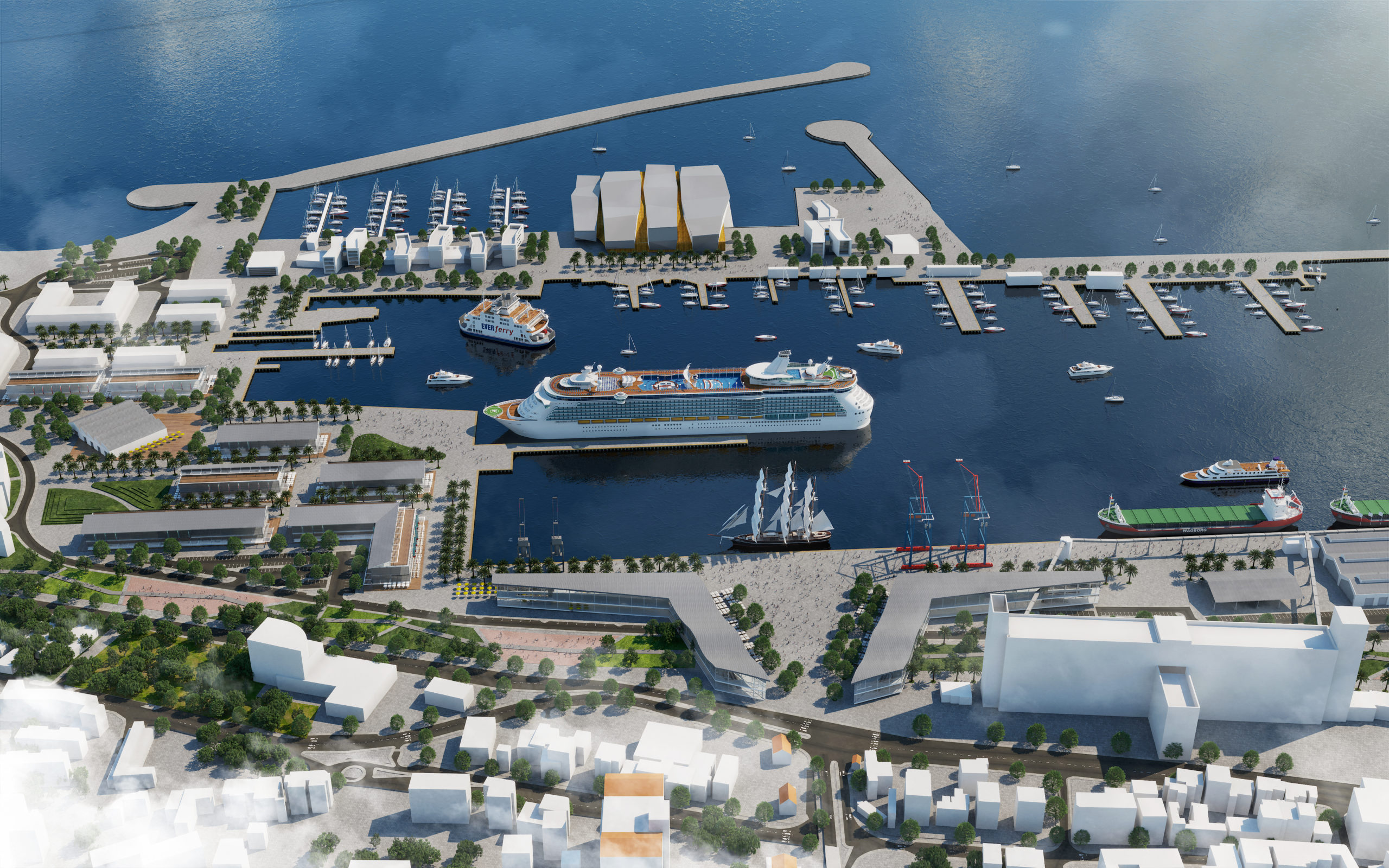
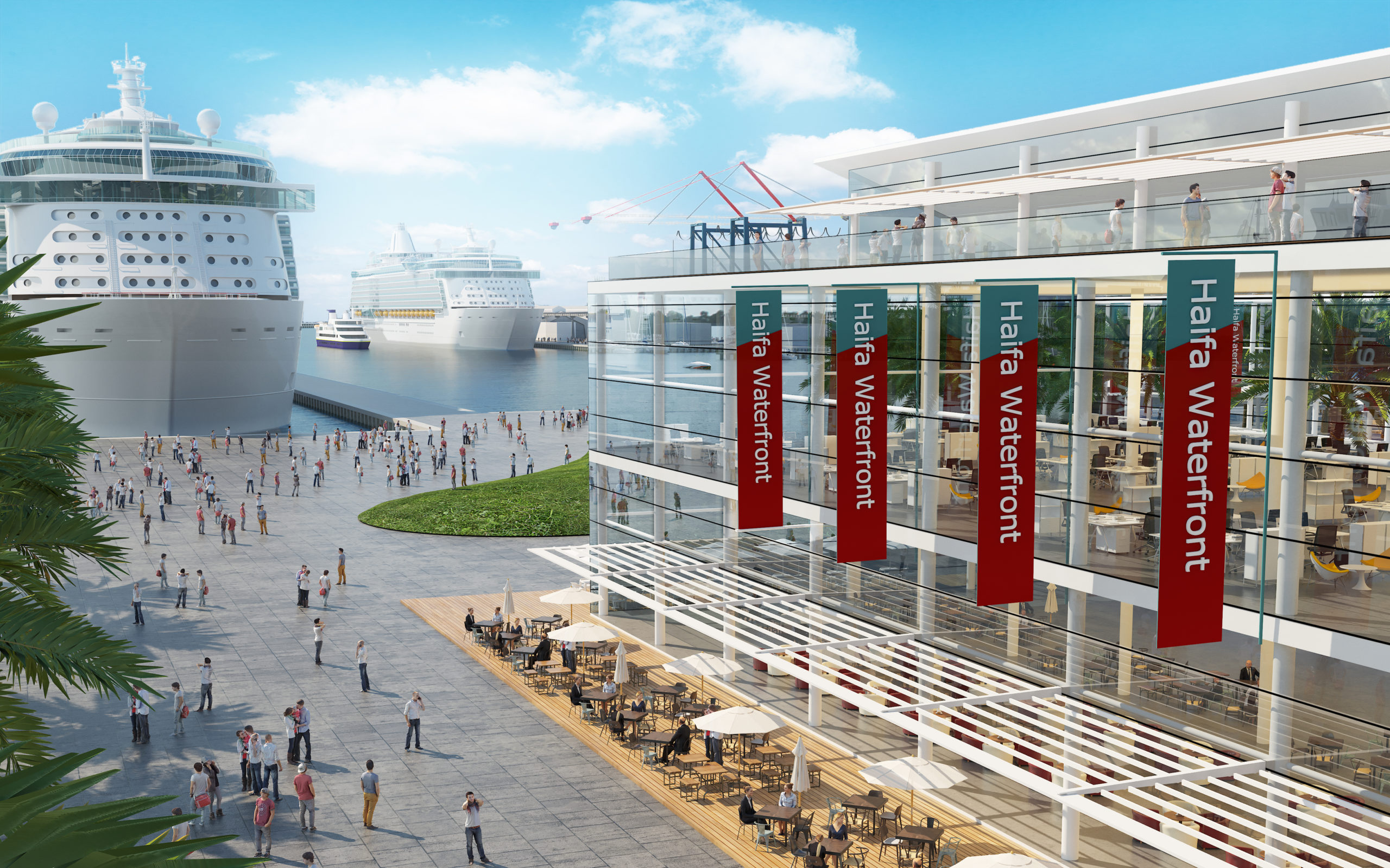
Now, this 70-hectare area will be transformed into a new, vivid, civic place that will revitalize the city, connecting the city fabric to the waterfront.
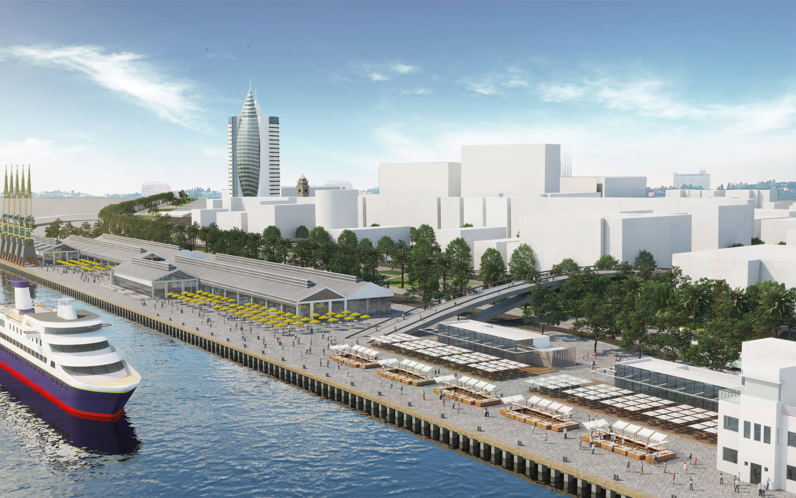
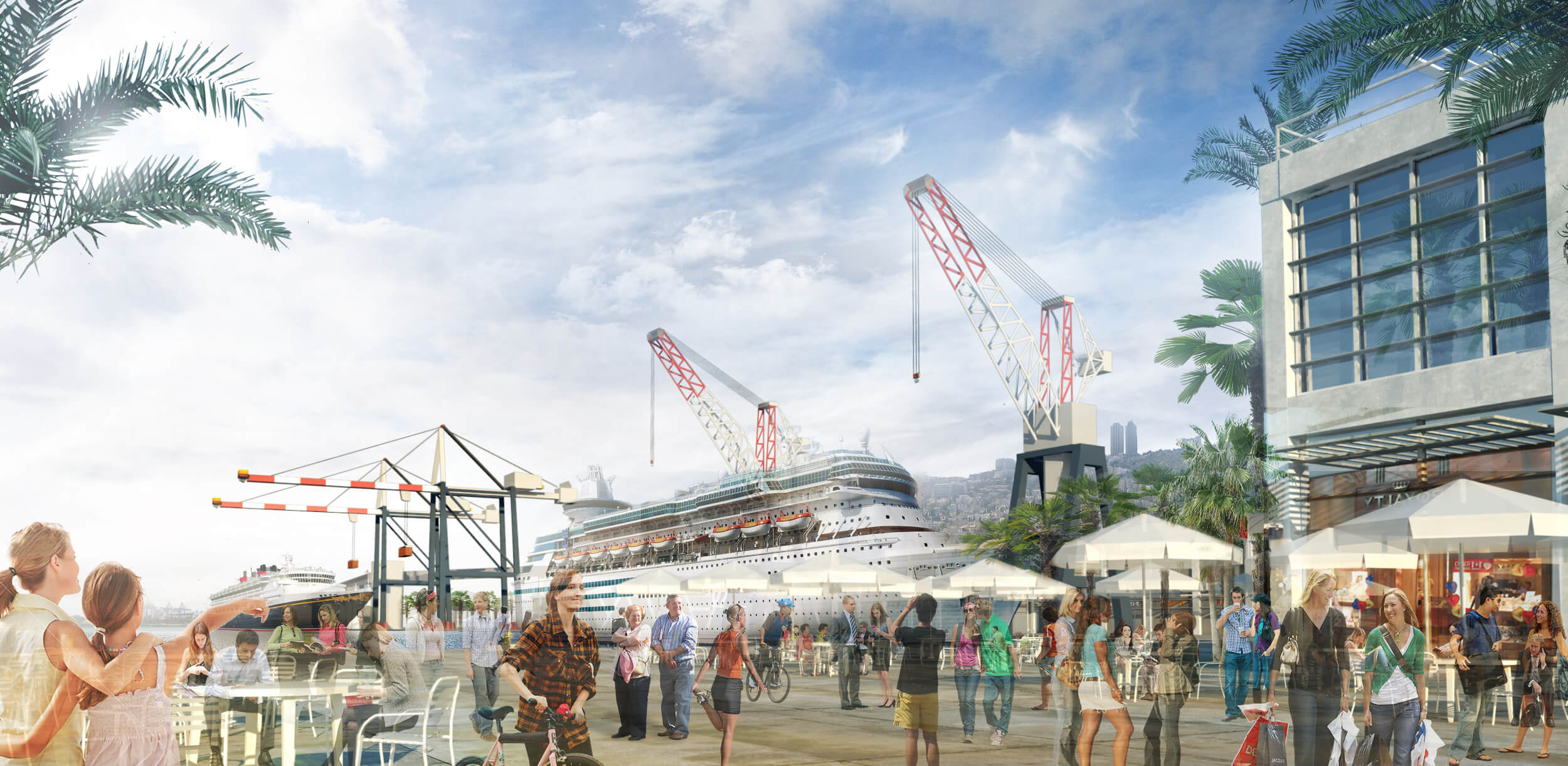
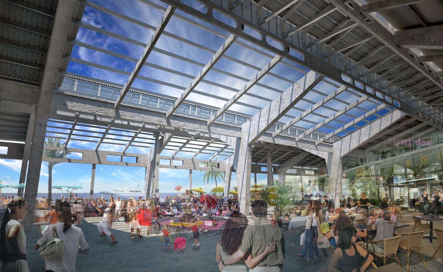
The large open public space, a 2.4 km promenade with 100,000 sqm new “warehouse-like” low-rise linear structures that will maintain the port’s industrial spirit and protect the city’s existing sea views.
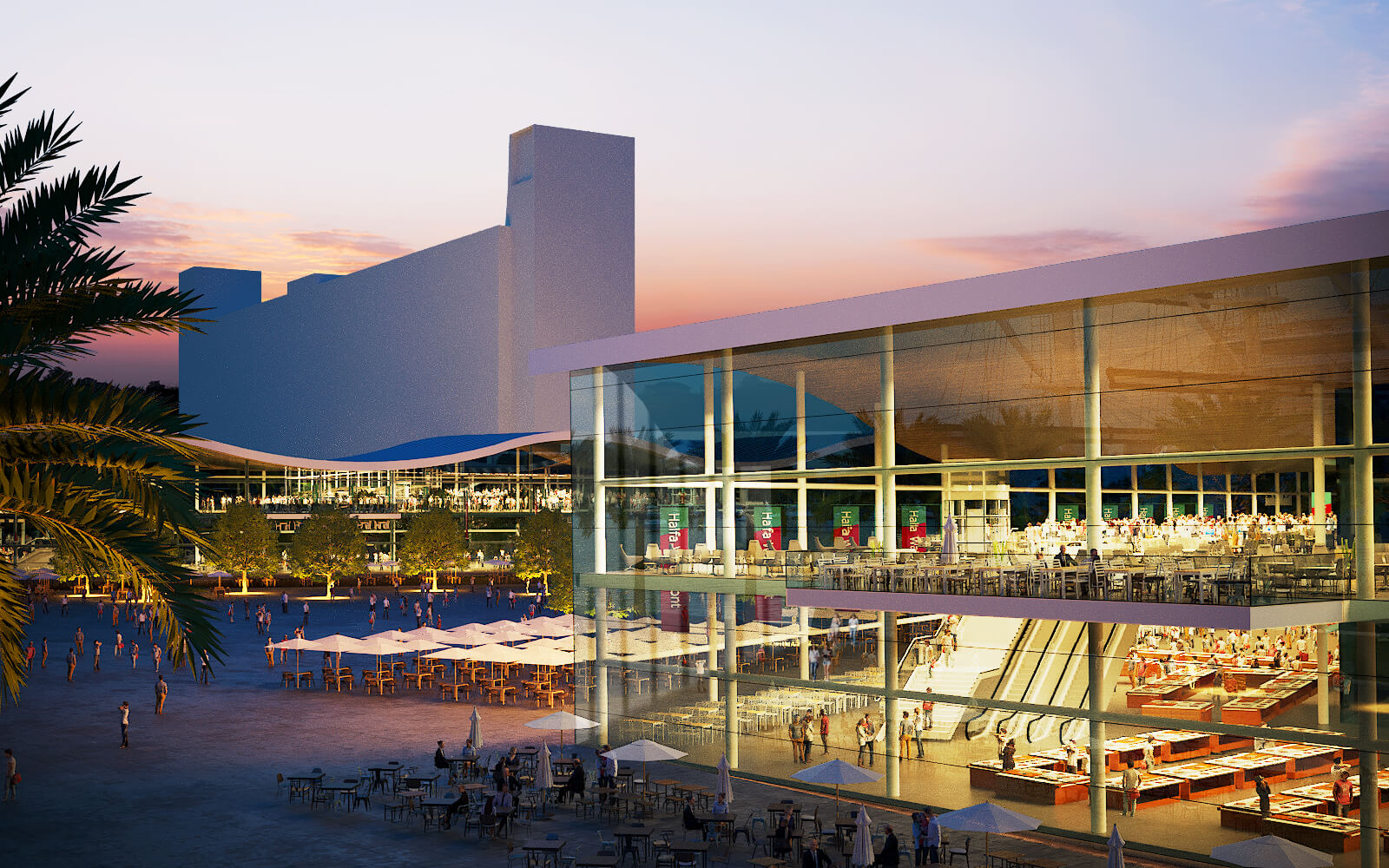
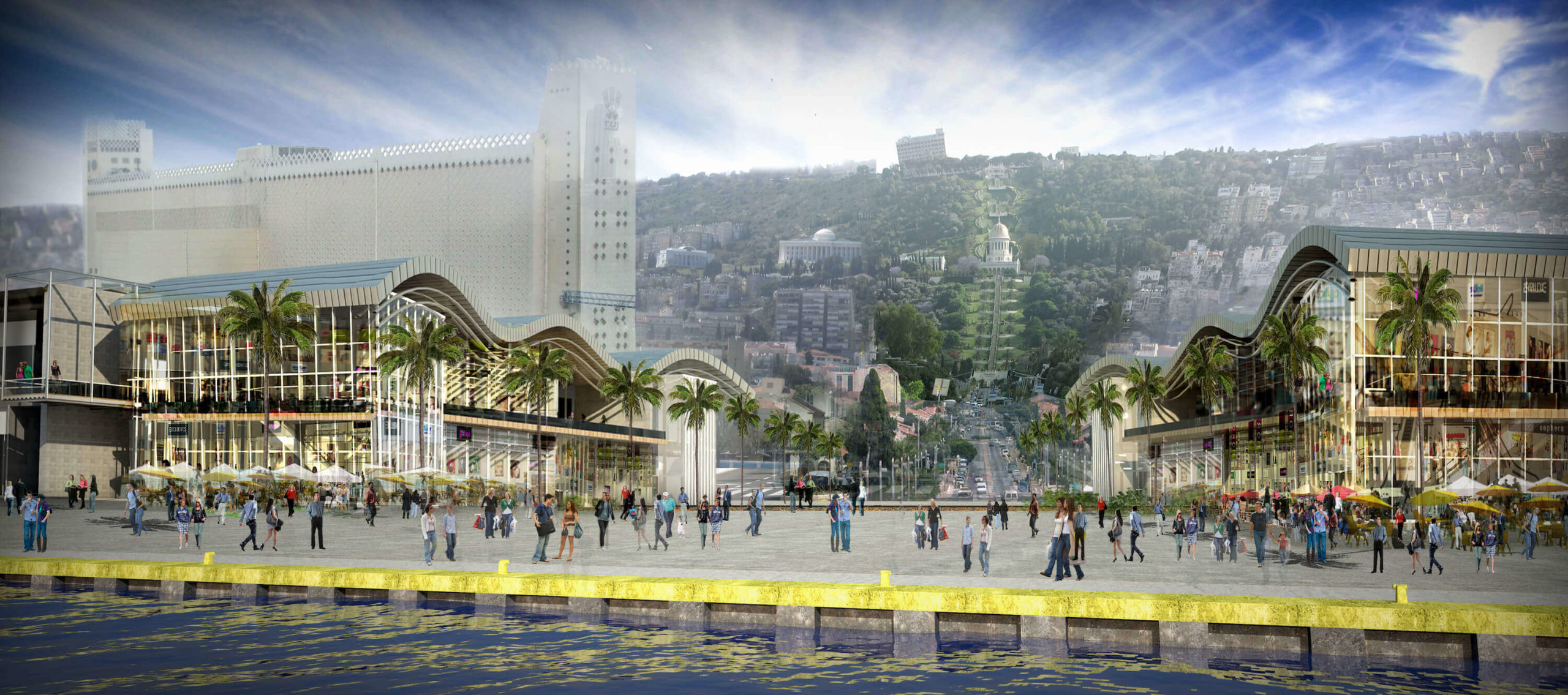
The train track, which currently runs between the city and the port will likely be relocated, but as it may take years, an interim solution was developed: two “bridge” buildings, containing retail outlets, cafes and other commercial spaces, will be built on both sides, connecting above the tracks. These buildings also form an urban gateway to the waterfront – at the foot of the UNESCO Bahai Garden axis and the Haifa German Colony just above the port.
The Plan (National Master Plan # 13-3 a) was approved in 2017 and awaits its execution.
Read more: Archdaily, July 5, 2013